overview
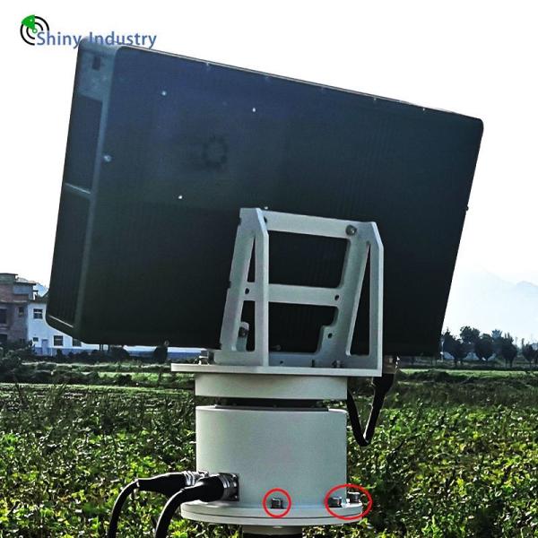
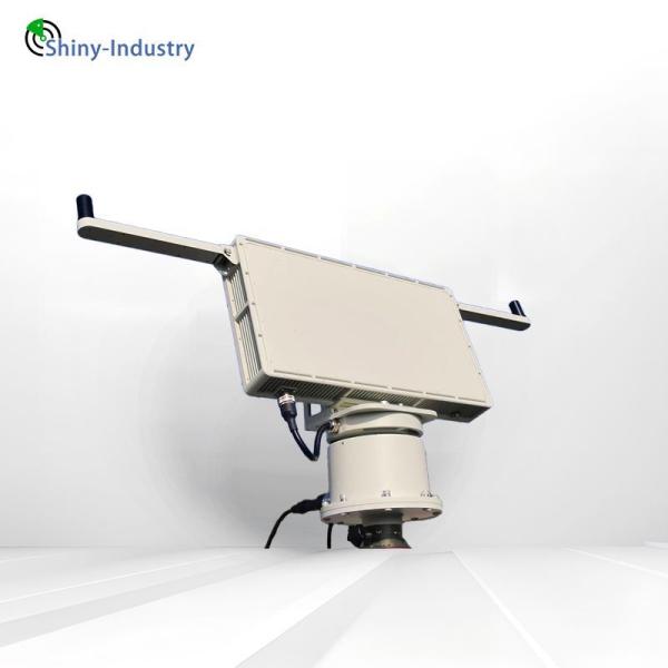
The RST5000A security radar is a three coordinate low altitude unmanned aerial vehicle detection radar that operates in the Ku frequency band. It is a radar system that can detect and warn low altitude, slow speed, and small targets (referred to as low slow small targets) around the clock. The radar adopts a fully coherent pulse Doppler technology system, with azimuth mechanical scanning covering 360 ° of the entire airspace and elevation fast phase scanning achieving large-scale airspace coverage. It uses TR technology, time accumulation and tracking technology, low signal-to-noise ratio target detection technology, clutter suppression technology, and other technologies to achieve all-round, high-precision and stable detection of low slow small targets such as drones, and real-time acquisition of target distance, azimuth, altitude, and velocity information. FEATURES
1) In 360 ° global monitoring mode, the radar servo scans the entire airspace at a constant speed of 360 ° according to the set rate, detecting airborne targets such as drones and balloons, tracking and building navigation for the targets, measuring detailed information such as distance, angle, altitude, and speed, and promptly reporting to the terminal for command.
2) Single target tracking: After the radar searches and captures the target, it can switch to tracking mode for precise tracking of the target of interest, with a data rate of 1 second.
3) Radar output can guide the identification, confirmation, and disposal of optoelectronic systems and other systems.
4) Capable of autonomous search and automatic search tracking conversion, it can achieve fully automatic unmanned operation in conventional background environments.
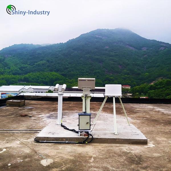
5) Lightweight and portable, capable of rapid deployment and installation, and suitable for vehicle applications. The radar system weighs approximately 25kg and can be quickly set up and removed by one operator, achieving fast mobile deployment and installation. The radar and gimbal mounted roof can be used for vehicle applications.
6) Wide space coverage and flexible application deployment
The maximum coverage range for azimuth is 360 °, and the maximum coverage range for elevation is 30 °. It can be used for 360 ° circumferential scanning applications and deployed for sector focused monitoring applications.
Functions
1) 360 ° global low altitude monitoring, detection, and tracking function:
In 360 ° global monitoring mode, the radar servo scans the entire airspace at a constant speed of 360 ° according to the set rate, detecting airborne targets such as drones and balloons, tracking and building navigation for the targets, measuring detailed information such as distance, angle, altitude, and speed, and promptly reporting to the terminal for command.
2) Single target tracking: After the radar searches and captures the target, it can switch to tracking mode for precise tracking of the target of interest, with a data rate of 1 second.
3) Radar output can guide the identification, confirmation, and disposal of optoelectronic systems and other systems.